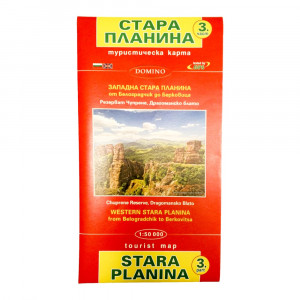
Middle Balkan Tourist Map DOMINO- part 1
-550x550.jpg)
-550x550h.JPG)
-550x550.JPG)
-80x80.jpg)
-80x80h.JPG)
-80x80.JPG)
Middle Balkan Tourist Map DOMINO- part 1
1.84€
- Scale 1:50 000, verified with GPS, includes part of Etropolska, Zlatitsa-Tetevenska, Troyan and Kalofer Mountains
- Size folded - 12.5 x 23.3 cm
- Size unfolded - 102 x 72 cm
Contains:
- Information about the Central Balkan National Park - relief, climate, flora and fauna; Reserves, waterfalls and caves; Monasteries
- Tourist routes
- Band and pole markings
- Chalets and shelters - contacts (in Bulgarian and English)
- Navigational GPS receiver data (in Bulgarian and English)
- Important information (in Bulgarian and English)


-250x250.jpg)


-300x300.jpg)

-300x300.jpg)
